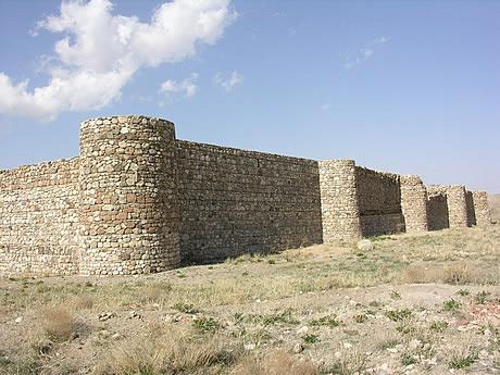
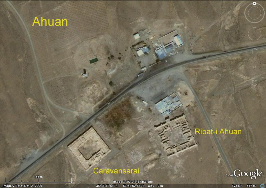
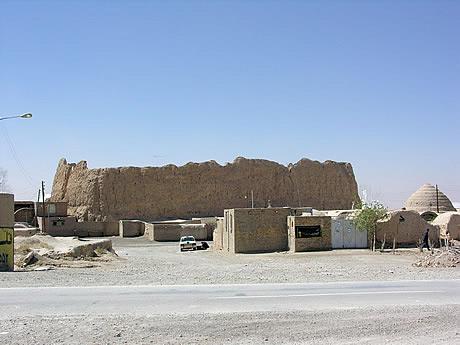
The Iranian Silk Road
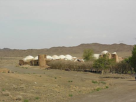
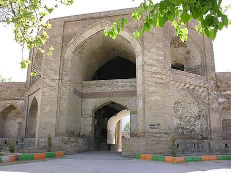
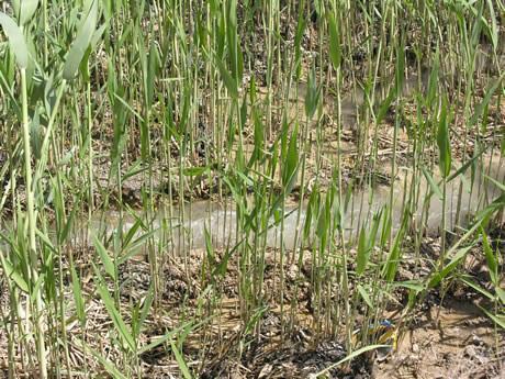
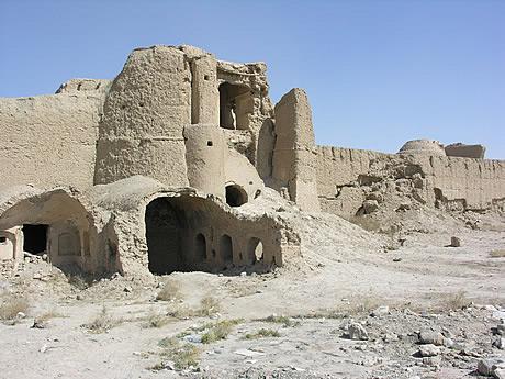
The Ottomans specifically noted the presence of local ‘brigands’ here at Al Hak (879km from Isfahan). They also documented a spring and this, unusually, is still functioning – as shown by the greenery around the tumbledown caravanserai.